

Jeffrey
Well-Known Member
Hi All,
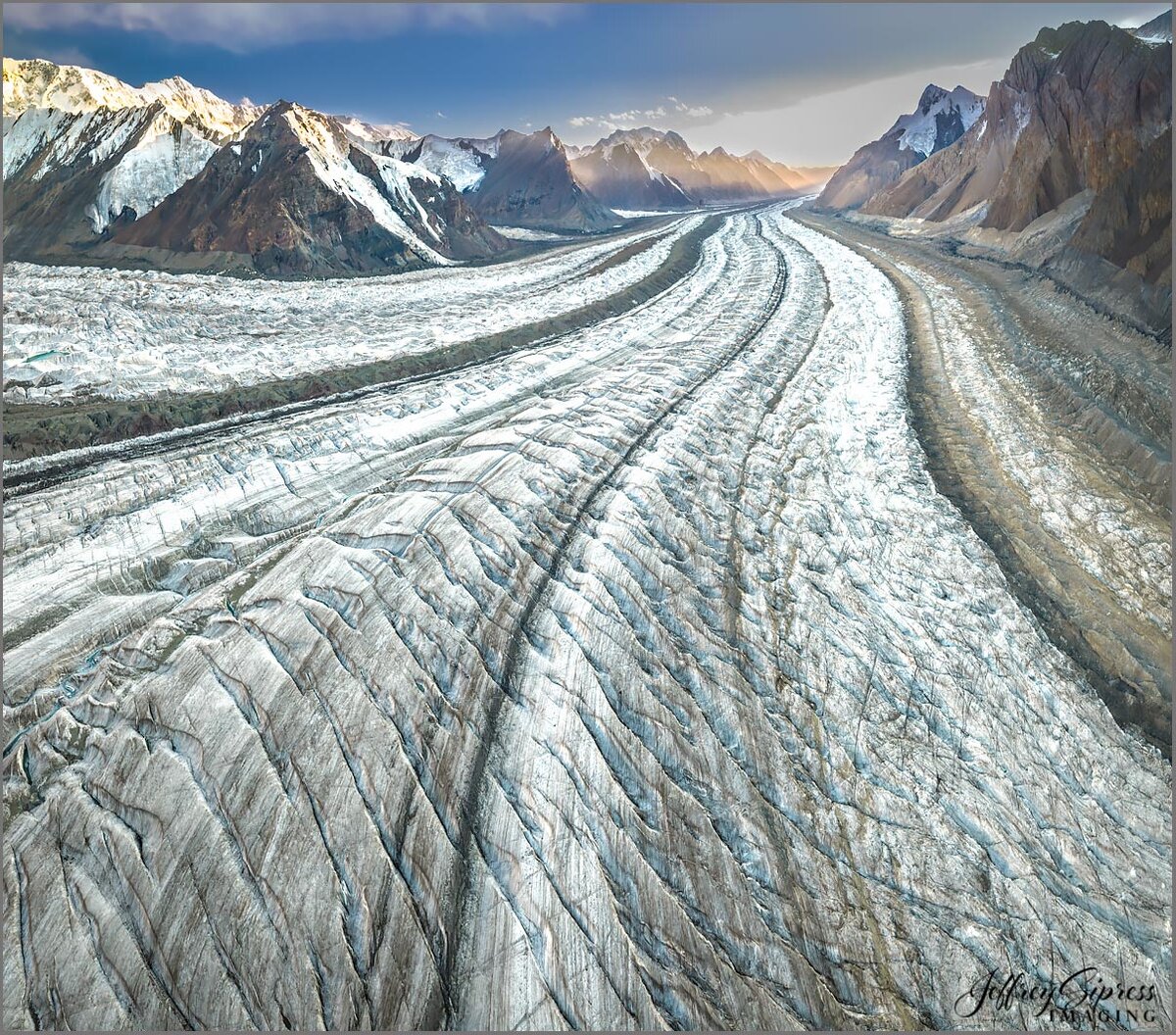
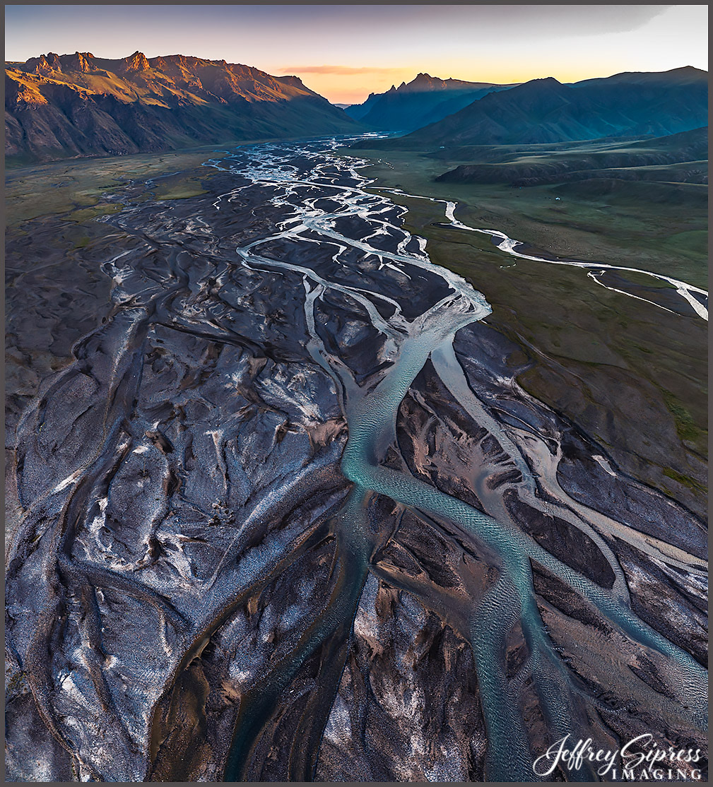
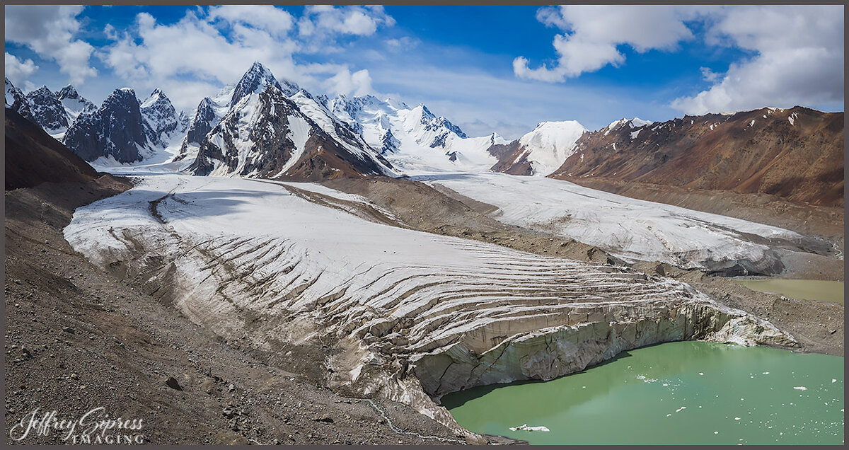
I dropped out of sight and connection for the past three weeks as I was on an expedition through the country of Kyrgyzstan. Not your mainstream destination, but one of the most exciting adventures I've been on. Spectacular scenery and culture. The mountains there are serious. Part of the journey was flying in a large ex-Soviet troop helicopter for 59 miles from our yurt camp to get to the tent base camp @13,400 ft and below Khan Tengri, a majestic 7,010-meter (23,000 ft) marble pyramid peak located on the border of Kyrgyzstan, Kazakhstan, and China in the Tien Shan range. I flew my drone up the glacier valley a couple of miles to make this first image. There were other glaciers in my surroundings. I was up there for two days, right between Khan Tengri and Pobeda Peak, at 24,406' and the tallest peak in the country. Yeah, it was a bit difficult to hike up there but I did walk out on the glacier and stomp around for a while one day (with a real camera). Two other drone images from nearby areas included. Beyond extraordinary...
I dropped out of sight and connection for the past three weeks as I was on an expedition through the country of Kyrgyzstan. Not your mainstream destination, but one of the most exciting adventures I've been on. Spectacular scenery and culture. The mountains there are serious. Part of the journey was flying in a large ex-Soviet troop helicopter for 59 miles from our yurt camp to get to the tent base camp @13,400 ft and below Khan Tengri, a majestic 7,010-meter (23,000 ft) marble pyramid peak located on the border of Kyrgyzstan, Kazakhstan, and China in the Tien Shan range. I flew my drone up the glacier valley a couple of miles to make this first image. There were other glaciers in my surroundings. I was up there for two days, right between Khan Tengri and Pobeda Peak, at 24,406' and the tallest peak in the country. Yeah, it was a bit difficult to hike up there but I did walk out on the glacier and stomp around for a while one day (with a real camera). Two other drone images from nearby areas included. Beyond extraordinary...


