AlanLichty
Moderator
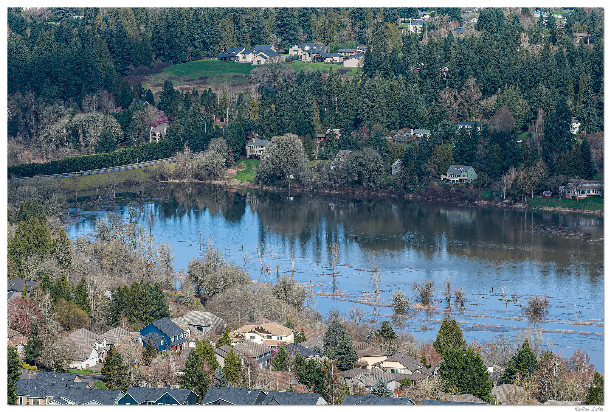
The day after the atmospheric river moved out the rivers were a bit on the full side with the Columbia reminding everyone why the bottomlands down near the river are called floodplains. Not a problem for those of us living on the bench lands left by the Missoula Floods in the foreground but not so much for things that have been built on reclaimed lands 200' below.

Water from the Columbia is backed up into estuaries like Salmon Creek a quick drone flight from my house. The normal channel for Salmon Creek is barely visible as an outline in the taller grasses in the lower right.
C&C always welcome.
Water from the Columbia is backed up into estuaries like Salmon Creek a quick drone flight from my house. The normal channel for Salmon Creek is barely visible as an outline in the taller grasses in the lower right.
C&C always welcome.