

kiwiapple
Well-Known Member
On Sunday night I saw a post from a photographer I follow who is based in Twizel, in the Mackenzie Country of the South Island of New Zealand, around 90 minutes from my home in Oamaru, saying that conditions were promising for a hoarfrost to form overnight. So I threw caution to the wind and the next morning I climbed out of my comfy bed at 4:30am so that I could be in place by sunrise to see what I might capture. It was freeeeeezing up there when I arrived, and still quite dark, so I wasn't quite sure if my trip was going to pay off, and as the dawn began to break I was fairly sure it wouldn't, since there was significant fog. But I persevered and sure enough the fog dissipated and the hoarfrost was there in all its glory. I bopped around the area for around 6 hours before the frost started to melt away so I headed home. It took some time to sort through my images, but these are among my favourites.
Lake Ruataniwha (roo-ah-TAH-ni-fa) toward the beginning of the day
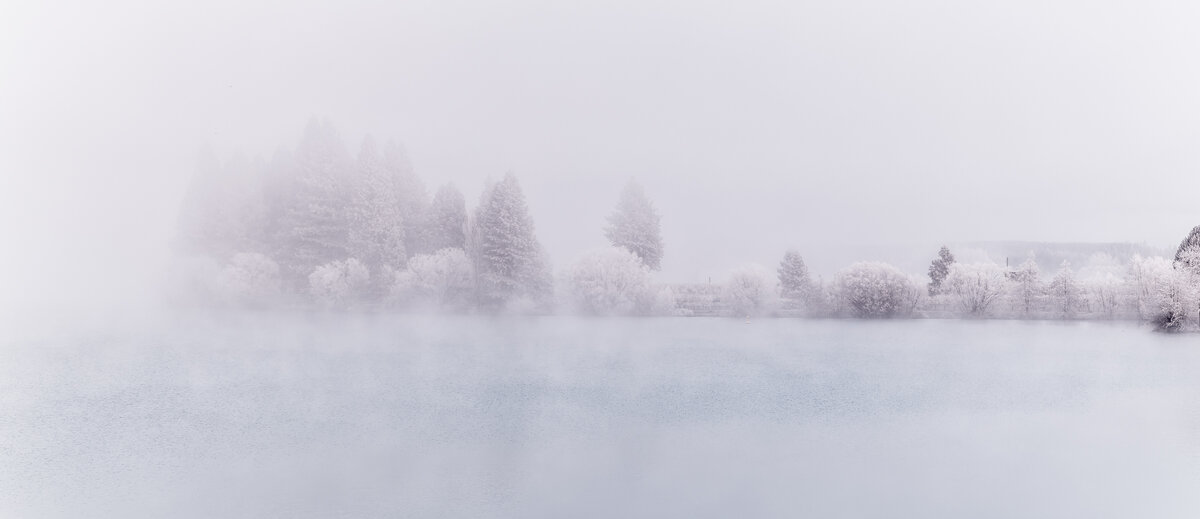
Lake Ruataniwha as the fog lifted
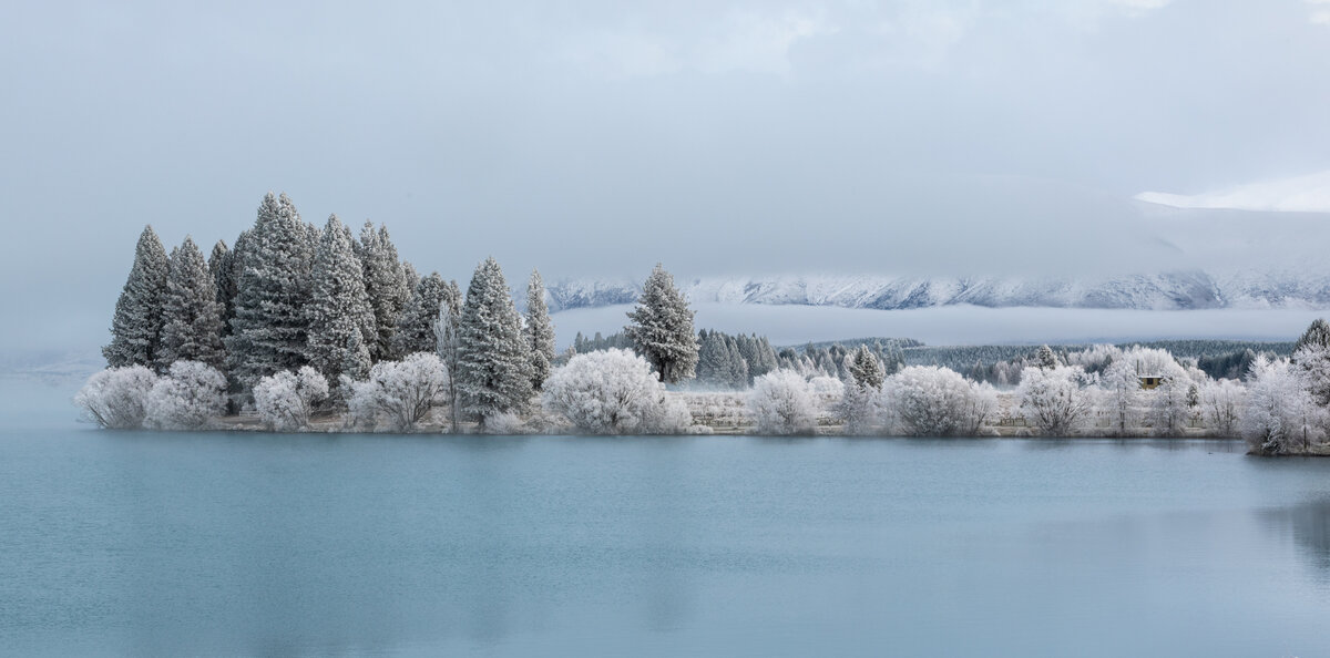
The Wairepo Arm of Lake Ruataniwha
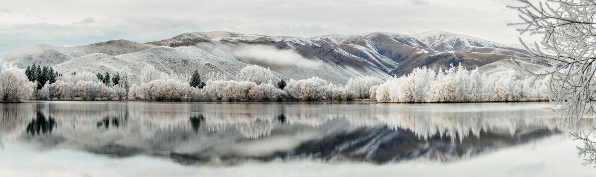
Twizel-Ohau Road
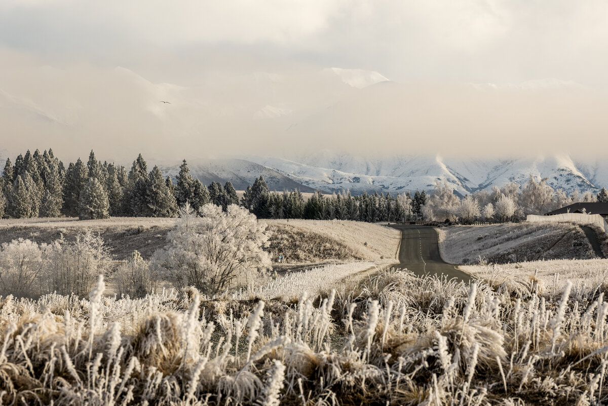
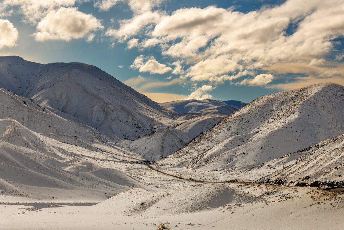
Lindis Pass, the 2nd highest point on New Zealand's state highway network (and the highest on the South Island), connecting the Mackenzie with Central Otago
Lake Ruataniwha (roo-ah-TAH-ni-fa) toward the beginning of the day
Lake Ruataniwha as the fog lifted
The Wairepo Arm of Lake Ruataniwha
Twizel-Ohau Road
Lindis Pass, the 2nd highest point on New Zealand's state highway network (and the highest on the South Island), connecting the Mackenzie with Central Otago


