ProCaliberTraveler
Well-Known Member
Saturday’s walk to Paiute Pass and the Humphreys Basin in the Eastern Sierra near Bishop, CA was much less exciting and painful compared to last year’s hike when I got caught in a thunderstorm complete with thunder, lightning, and hail.
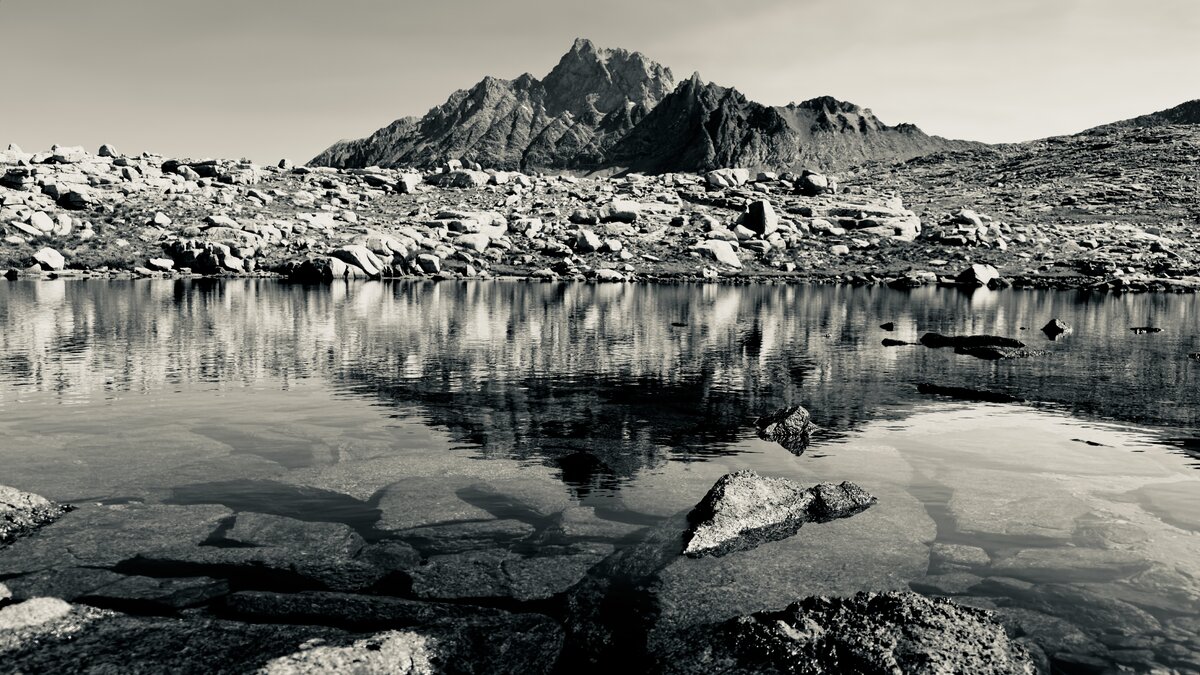
Mt. Humphreys is 13,986 feet tall and it’s one of the prominent peaks to the west of Bishop in the Owens Valley. These two images show what it looks like from the west side. I took this image from nearly 12,000 feet in elevation.
This angle shows the basin to the southwest, Paiute Pass, and Muriel Lake.
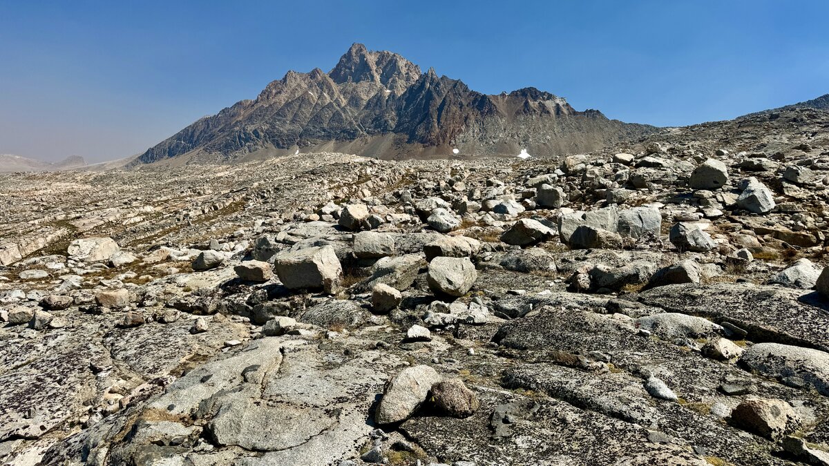
Last edited: