In Memorium to Great Photographic Places That No Longer Exist.

In response to Alan's thread of Eagle Creek I thought I would start a thread of wonderful places to photograph that no longer exist because of natural of human caused changes. Let's not put any restrictions on what can be used. It can be local or national in scope. The image must be from a time when it was a viable location.

Mine is of Navajo Falls in Havasu Canyon which was eliminated during a major flood that changed the course of Havasu Creek. I am relinquishing this from my "Waterfall Wednesday" collection

navajo falls larger fw.jpg
 

AlanLichty

Moderator
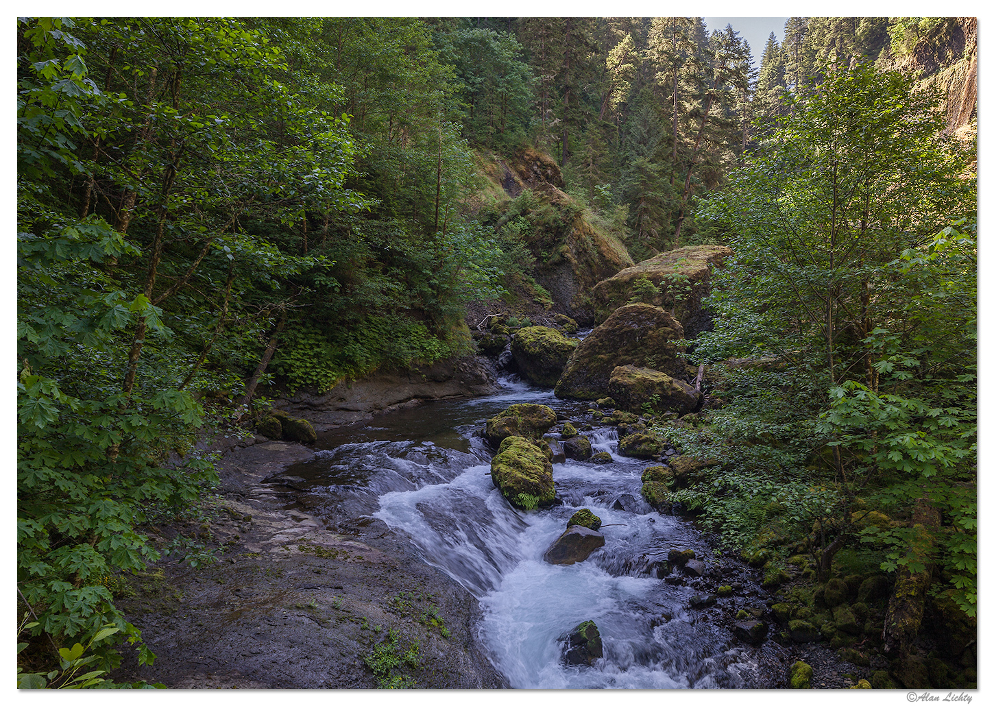
At least from what I can see on the damage maps Wahclella and Oneonta are the two drainages that were scorched the worst by fire last summer. This is an image from the trail that leads to Wahclella Falls. If the maps are correct between 80% to 100% of all vegetation burned down to the soil level in this side canyon.


Edit: I updated the image with a better copy
 
Last edited:

Guy Schmickle

Well-Known Member
Boy, I had to think long and hard on this one but I found something that qualifies. I shot this image about 4 miles into the West Fork Of Oak Creek near Sedona back in 2011. In 2014 a horrific human started fire ripped through Oak Creek Canyon. While a majority of West Fork (a side canyon to OCC) only received burns near the top of the canyon, silt runoff from subsequent rains has greatly altered the flow and look of the creek. The reflection in this scene is no more as much of this pool has filled in with that runoff.

Stock-2156.jpg
 

JimFox

Moderator
Staff member
Interesting thread Doug.

I would have posted a Navajo falls shot too, I actually had shot it just a month or two prior to it being no more. I will have to think a bit harder now...
 
Interesting thread Doug.

I would have posted a Navajo falls shot too, I actually had shot it just a month or two prior to it being no more. I will have to think a bit harder now...
I think you should post it, Jim. Mine was taken about ten years ago or so and was on film so I don't have EXIF data.
 
At least from what I can see on the damage maps Wahclella and Oneonta are the two drainages that were scorched the worst by fire last summer. This is an image from the trail that leads to Wahclella Falls. If the maps are correct between 80% to 100% of all vegetation burned down to the soil level in this side canyon.

View media item 804
Nice image, Alan. Too bad it's gone.
 

Tom Narwid

Well-Known Member
Boy, I had to think long and hard on this one but I found something that qualifies. I shot this image about 4 miles into the West Fork Of Oak Creek near Sedona back in 2011. In 2014 a horrific human started fire ripped through Oak Creek Canyon. While a majority of West Fork (a side canyon to OCC) only received burns near the top of the canyon, silt runoff from subsequent rains has greatly altered the flow and look of the creek. The reflection in this scene is no more as much of this pool has filled in with that runoff.

View attachment 4237
Super color Guy
 

AlanLichty

Moderator
Taken early 2006, before the walls caved in, which happened a short time later. In May of 2006 the walls you see in this photo literally caved in. Since then a trail was routed over the the landslide.
Have they finally reopened the Wall Street trail again? That trail has been closed the past couple of visit I have made to Bryce.
 

Zeph

Well-Known Member
Have they finally reopened the Wall Street trail again? That trail has been closed the past couple of visit I have made to Bryce.
Alan, I don’t believe the official trail has been rebuilt but I know others have found a way through, from the top down that is. I haven’t been there since ‘08
 

AlanLichty

Moderator
Alan, I don’t believe the official trail has been rebuilt but I know others have found a way through, from the top down that is. I haven’t been there since ‘08
Thanks.

I have been at there quite a few times since then (2016 most recently) and have seen the trail closure obstacles from both directions on the loop trails. I have not tried to circumvent the Park's judgement on the safety of venturing further.
 
Taken early 2006, before the walls caved in, which happened a short time later. In May of 2006 the walls you see in this photo literally caved in. Since then a trail was routed over the the landslide.
View attachment 4266
Beautiful image, Zeph. I didn't even know that happened. The last time I was on that trail was 2000. I laid on my back to take an image in the same area. I am glad it didn't cave in then.
 

Martín el Escocés

Well-Known Member
Some smashing images here! Here is one from me:-

Beauty and the Beast

Not a site that will be recognised by many in the US; but beloved of Scottish photogs: sadly, "The Beast" has gone (replaced by a featureless earthwork jetty) though Beauty still remains! This is the head of Loch Etive, at the bottom of the truly wonderful Glen Etive, near the more famous (or infamous) Glen Coe.

Sunsets here in the glen are fabulous - no more, sadly, set off by The Beast!

5_MG_0435WorkingReduceHL1.jpg
 
Last edited:
Boy, I had to think long and hard on this one but I found something that qualifies. I shot this image about 4 miles into the West Fork Of Oak Creek near Sedona back in 2011. In 2014 a horrific human started fire ripped through Oak Creek Canyon. While a majority of West Fork (a side canyon to OCC) only received burns near the top of the canyon, silt runoff from subsequent rains has greatly altered the flow and look of the creek. The reflection in this scene is no more as much of this pool has filled in with that runoff.

View attachment 4237
Beautiful image, Guy. Too bad it is gone.
 
Top Bottom