AlanLichty
Moderator
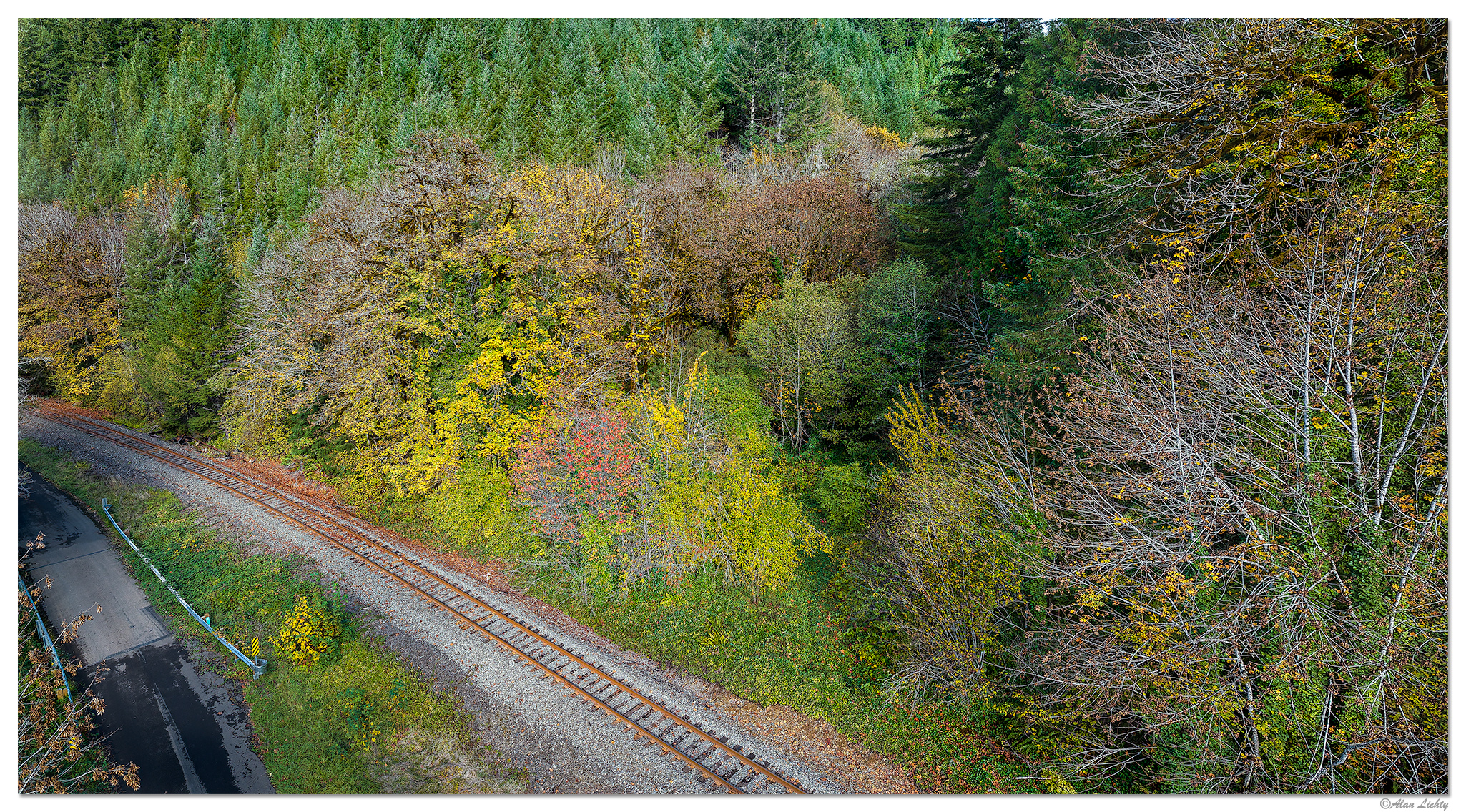
I was a little surprised to look at a map with the GPS coordinates of this shot and saw that there was a named creek on maps that had been almost entirely buried in a culvert that goes under the railroad and Stagecoach road. You can actually see water coming out of the culvert down at road level from the bridge but its far from a notable feature from this viewpoint. Two panels at 24mm from a late October visit.
C&C always welcome.
C&C always welcome.