

AlanLichty
Moderator
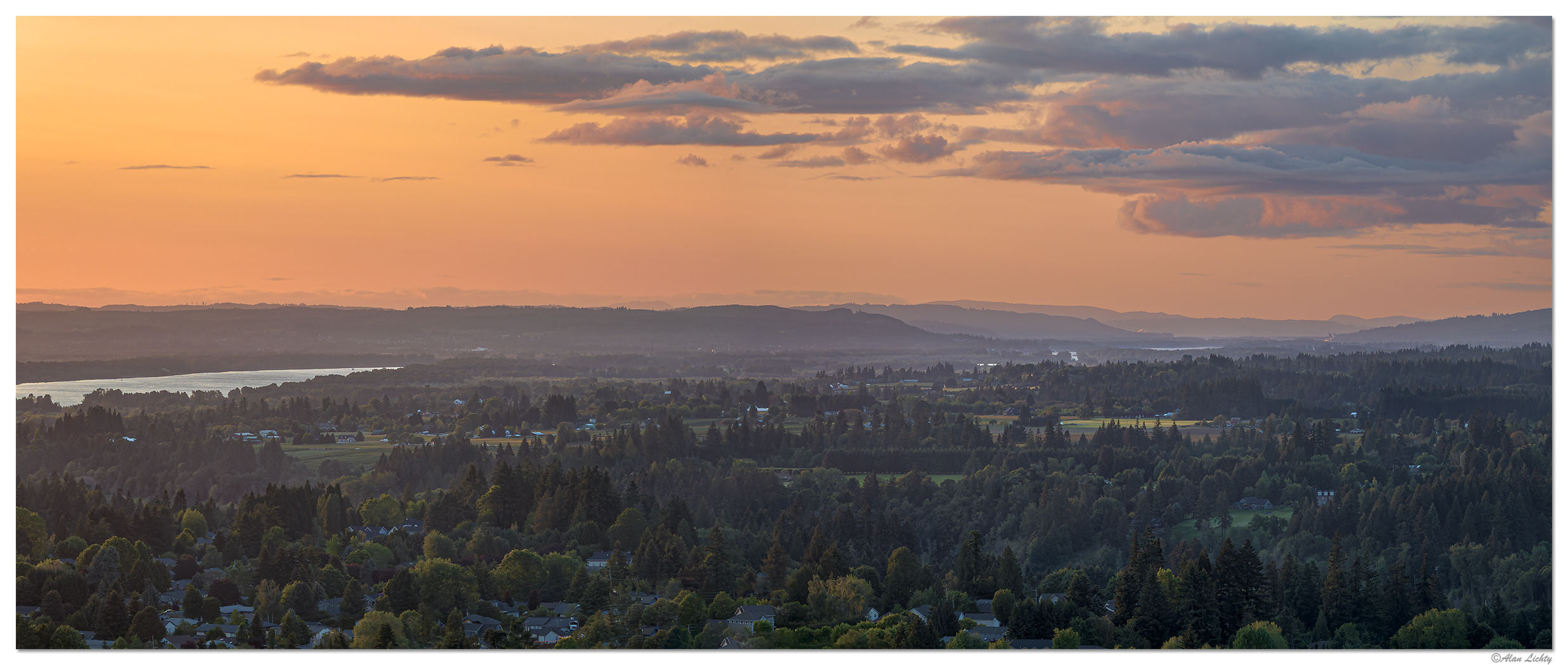
A view looking down the Columbia River Valley as it heads north from the Portland/Vancouver area. Shot a week ago when we had some wildfire smoke in the air that added some color and haze to the air as the sun was setting. A 4 panel panorama shot using a 166mm lens.
During the Glacial Floods from Lake Missoula the houses in the foreground (including mine) would have been under roughly 200' of water. Click through for a wider more detailed view.
C&C always welcome.
During the Glacial Floods from Lake Missoula the houses in the foreground (including mine) would have been under roughly 200' of water. Click through for a wider more detailed view.
C&C always welcome.


