AlanLichty
Moderator
This last weekend the folks who study forest fires (Burned Area Emergency Response or BAER) published a map called the Eagle Creek BAER showing the extent of the burn damage in the Columbia River Gorge. As might be expected the fire hop-scotched it way around the canyons and didn't torch everything to the ground but it damaged a lot of the ground cover and clobbered the ridge lines. The full map can be found here:
https://inciweb.nwcg.gov/photos/ORC...e-Creek/picts/2017_10_04-19.43.14.983-CDT.pdf
It is highly unlikely we will be able to access any of the trails before next spring since the loss of ground cover has raised the slide/rockfall hazard levels to extreme. The crews trying to assess the burn experienced this first hand with highly unstable soils above and below the trails. One of the hardest hit areas appears to be Wahclella Falls and Tanner Creek.
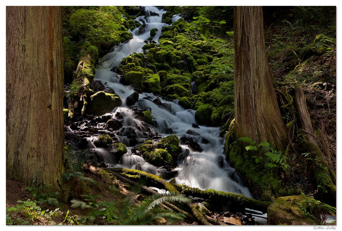
This is an image I took along the trail above Wahkeena Falls a few years back that is most likely no longer there if the map is accurate.
C&C always welcome.
https://inciweb.nwcg.gov/photos/ORC...e-Creek/picts/2017_10_04-19.43.14.983-CDT.pdf
It is highly unlikely we will be able to access any of the trails before next spring since the loss of ground cover has raised the slide/rockfall hazard levels to extreme. The crews trying to assess the burn experienced this first hand with highly unstable soils above and below the trails. One of the hardest hit areas appears to be Wahclella Falls and Tanner Creek.
This is an image I took along the trail above Wahkeena Falls a few years back that is most likely no longer there if the map is accurate.
C&C always welcome.