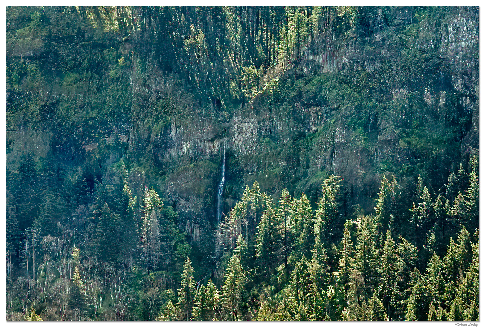
What a cool shot Alan, it has a very hidden feel to it. Hidden Falls would be great name for it since it’s hidden most of the year.
")
Tim had a great question since a lot of your recent images showed everything being green. So it was great to hear Michael’s report from being there and then your observations.
It looks like the trail to Triple Falls is open again.
Alan, I am trying to recall, after you mentioned log jams. It seems to me that I did hike the gorge of this 4 or 5 years before the fire. I distinctly remember a gorge with several log jams that I had to go over. I had brought along my ice crampons for my shoes as I had read that was a safe way to get over the wet and slippery logs.