Douglas Sherman
Staff
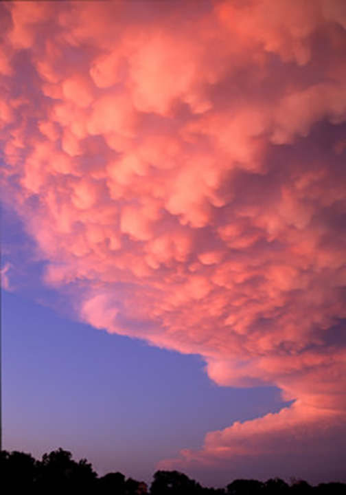
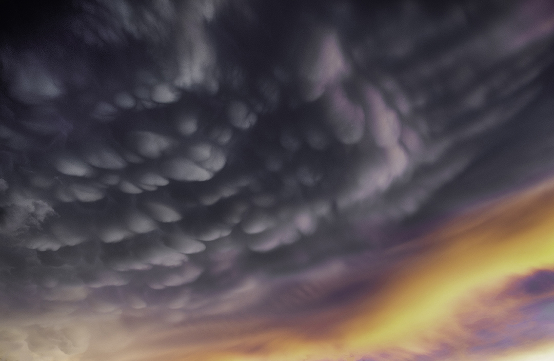
I had a very busy week last week and couldn't post until today. We went to my daughter's home in CA for Thanksgiving. While there I managed to leave my cell phone in a Starbuck's and couldn't get it back until Sunday morning, then spent all day yesterday just getting back home. So, I have some catching up to do. Today's topic for clouds is Mammatus clouds. These form in association with thunderstorms. As warm moist air rises in these violent storms the air eventually reaches the temperature of the surrounding air. It then can no longer rise and begins to spread laterally to form the anvil typically seen at the top of the cumulonimbus cloud. The air in the anvil cools and begins to sink forming the distinctive pouches or mammary-shaped featured at the base of the anvil.
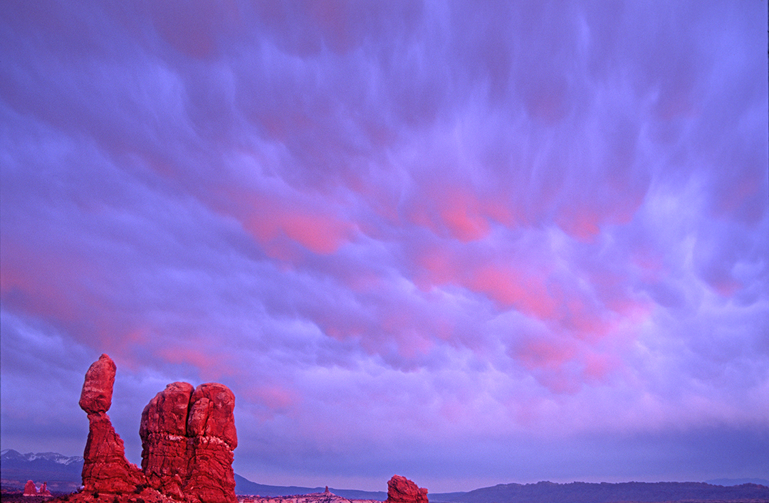
Mammatus clouds portend severe thunderstorms and associated tornadoes in the Midwest but not in the Monsoon storms that form in the western US.
Here are a couple of examples from the Midwest and West.
A storm over Gurnee, IL
A Storm over Cottonwood, AZ
Mammatus clouds over Balanced Rock, Arches National Park, UT